So where can you paddle your canoe?
Although the list of canoeing possibilities is almost endless, the following are some of our favourites.
Great Glen Canoe Trail
Great Glen Canoe Trail website
If you don’t feel you have the experience or time to organise your own trip, why not join one of our guided Great Glen expeditions.
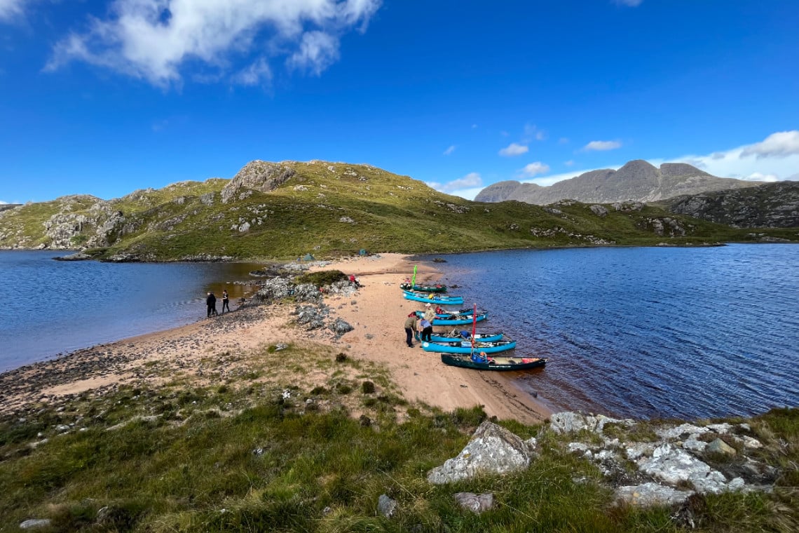
Loch Veyatie, Fionn Loch and Loch Sionascaig
A wilderness canoe adventure – Take 3 days for this true wilderness trip with no real paddling difficulties although there are a couple of difficult portages and great views of Suilven along the way. A wild camping heaven.
Get in touch for more information about this trip. A great short film in the wonderful Inverpolly area – hard work but rewarding!
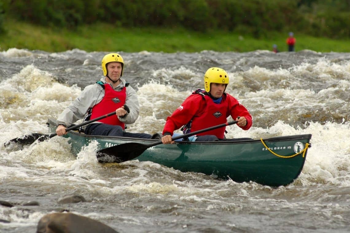
River Spey Canoe Trail
One of the ‘Big 4’ rivers that is a must for the touring canoeist in Scotland, and which normally provides a fast current, great scenery and some interesting rapids. To paddle from Newtonmore to Spey Bay can take up to 5 days depending on the fitness, age, size of the group, weather and the water levels.
Other popular start points for a shorter journey might be Kincraig or Aviemore. If you lack experience of whitewater paddling but would love to give it a go why not join one of our guided trips on the Spey.
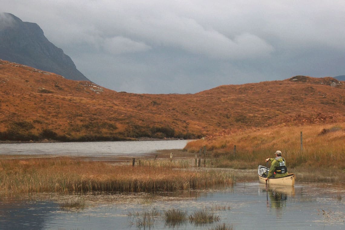
Loch Assynt to the sea
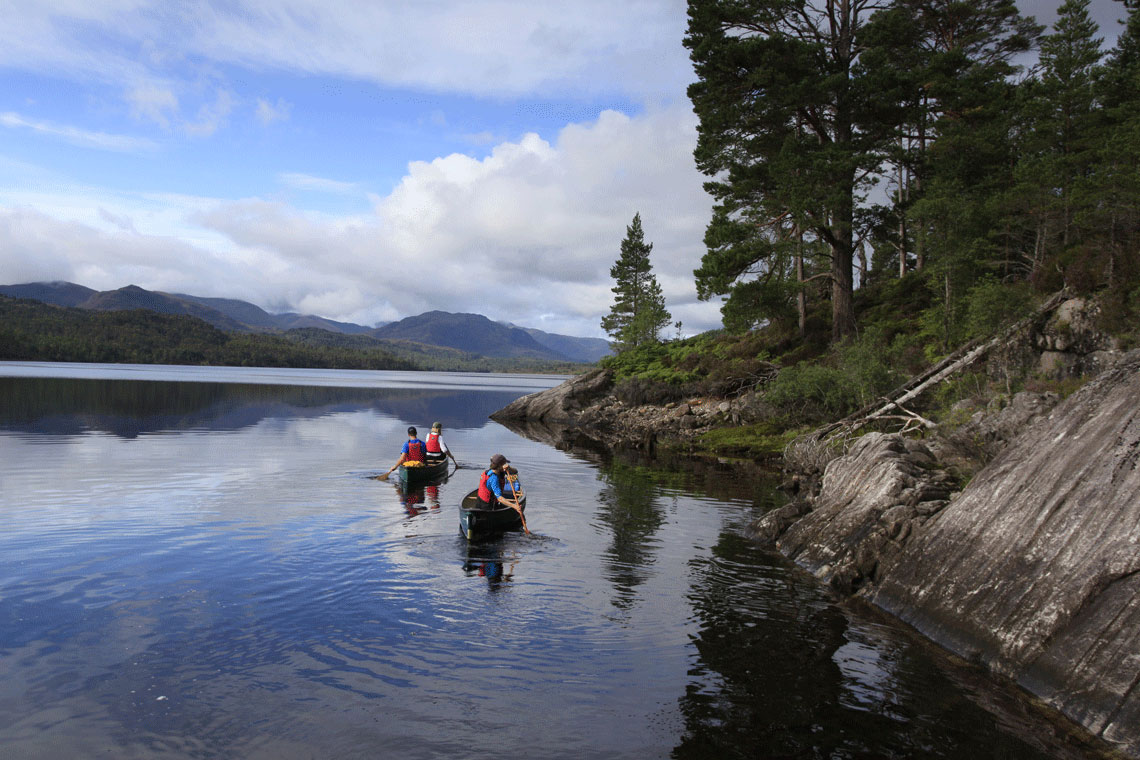
Canoeing in Glen Affric
Glen Affric is worth a visit in its own right, a glen which is being replanted by ‘Trees for Scotland’, also offers 2 lochs set in beautiful scenery. Wild camping galore, wildlife, mountains, peace and quiet…what else can we say?
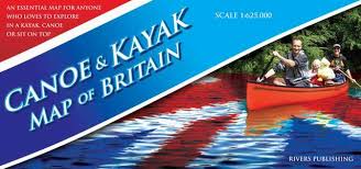
Paddling Map of Britain
This is a high quality map of mainland Britain that shows the huge extent of canoeing possibilities on rivers, lakes, canals and coast. It is colour coded to clearly show the nature of these waterways. Southern England and Wales appears on one side of the B1 sheet – Scotland and the North of England appears on the reverse.
The base map is very detailed and shows roads, towns, villages, rivers, streams, lakes and canals with this detail in pastel colours. Over this is superimposed the canoeing information in bright colours so that this stands out:
- Tidal rivers and different Grades of river – Flat, classes: 1, 2, 3, 4.
- Navigations (e.g. canals) used by motorized craft.
- Especially popular canoeing trips are highlighted in yellow,
- Selected coastal paddles are marked, as are artificial white water courses.
This map projects the ‘Big Picture’ and is very much a product that inspires, excites and gets people planning and dreaming of their next canoe trip. Some paddlers will buy this map for the office wall whilst for the newcomer to the sport it answers the question “where can I go paddling next? Information panels give helpful information on access, recommended websites and guidebooks – designed to ‘open the doors’ to the world of canoeing and kayaking.
